Pt.5: Sherman to Maggie Gulch
Course Photographs by Klas Eklof, July 2006
Pt.1 | Pt.2 | Pt.3 | Pt.4 | Pt.5 | Pt.6 |
|
|
Pt.5: Sherman to Maggie Gulch Course Photographs by Klas Eklof, July 2006 Pt.1 | Pt.2 | Pt.3 | Pt.4 | Pt.5 | Pt.6 | |
|
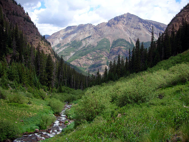
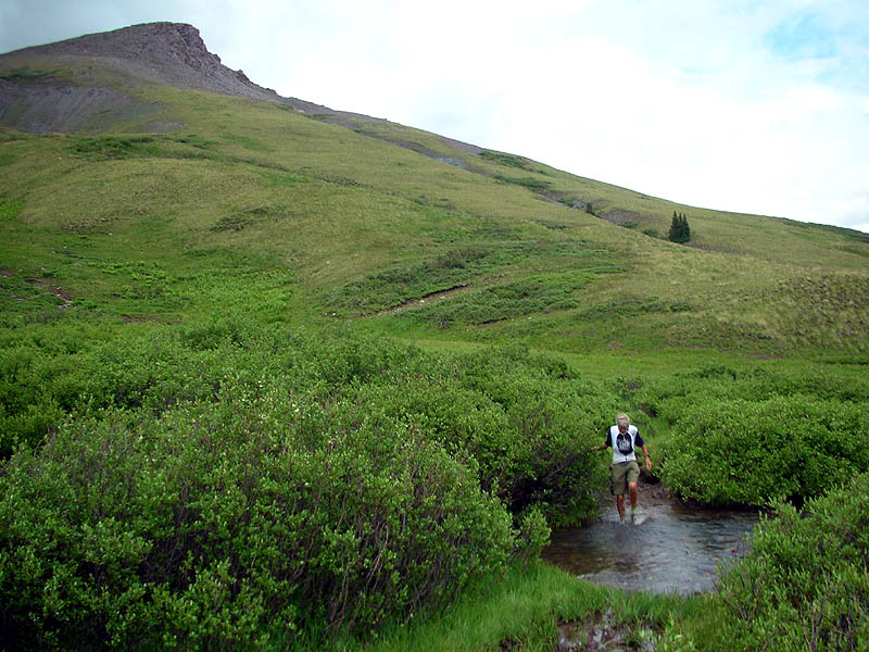
Mile 71.9, the easy part of the course. Well, I was saving myself for this stretch of trail,
and ran a fast split through here. So I guess it was my easy part. Your easy part of the course may vary.
The hard part of this section is that you spend so much time at, or above, 11,500'. In the history of the race, there have been two helicopter evacuations for runners, both due to pulmonary problems through here. |
|
A mile up the climb from Sherman, looking back down Cataract Gulch. Sunshine Peak [14,001'], Colorado's lowest 14'er, standing tall in the distance. |
 |
| Same location as above, looking up. The first crossing of Cataract Creek is immediately below the trees. |
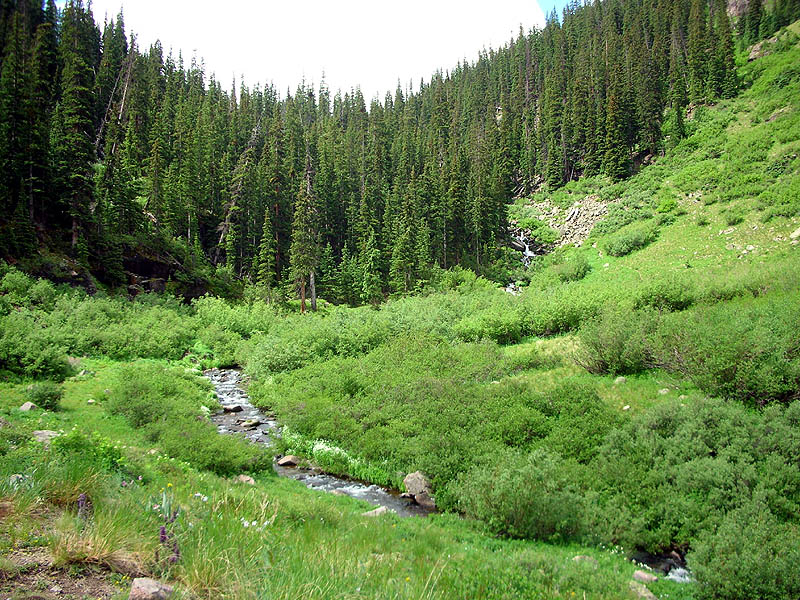 |
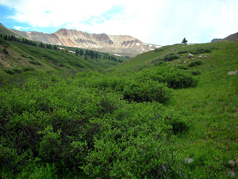
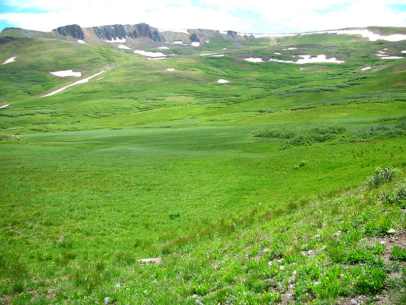
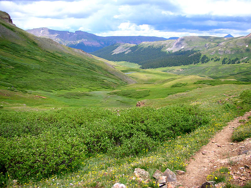
| Very typical image of the entire stretch of trail from treeline in Cataract Gulch to the Pole Creek aid station, rolling muddy meadows at 12,000'. |
 |
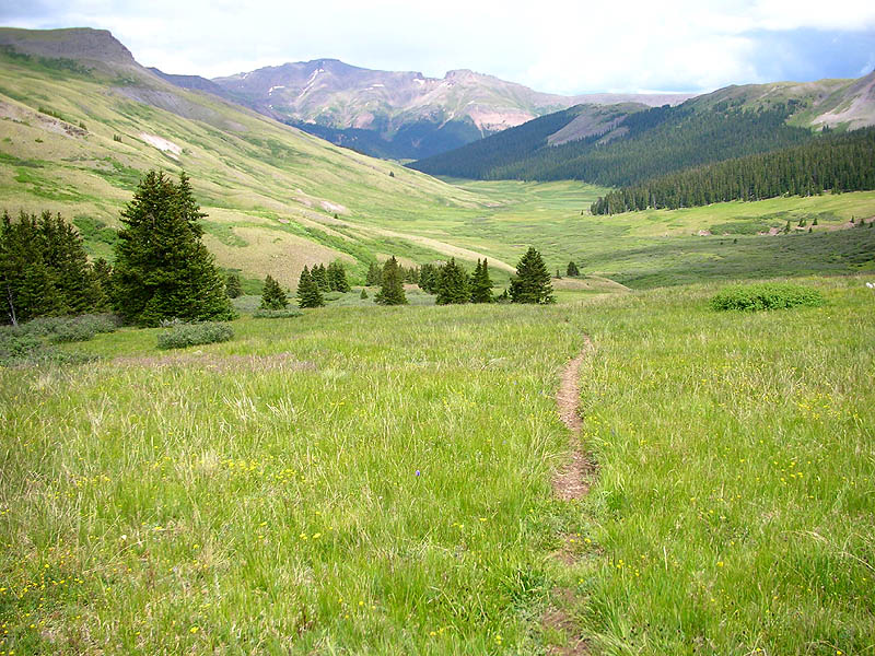
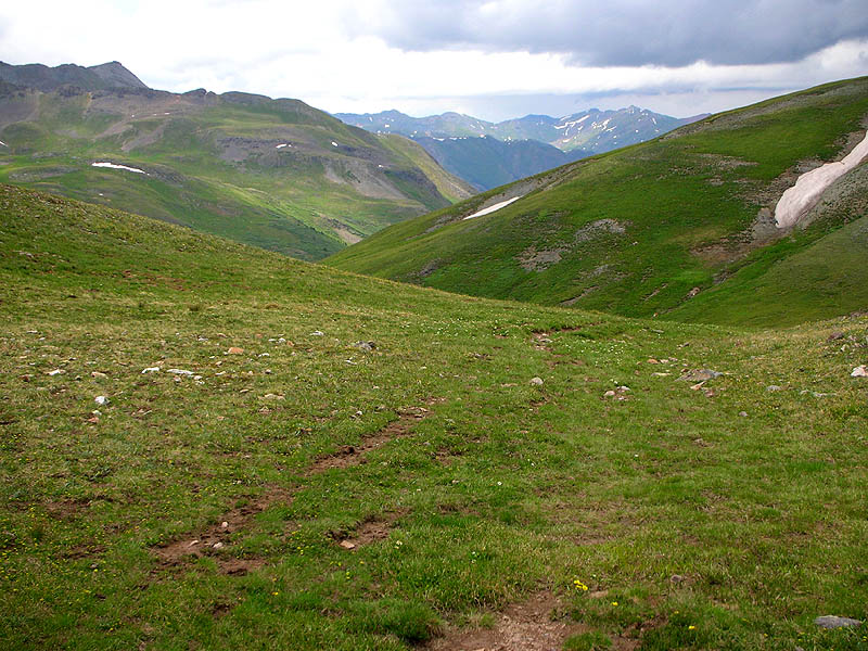
| This view is taken from the trail immediately after the Pole Creek aid station, out for a training run with Hans-Dieter Weisshaar. |
 |
|
Looking up the West Fork Pole Creek Valley. Our trail dips down to cross the creek and heads towards the forest on the left. Then the trail turns rightward and up to the saddle at the extreme right. |
 |
|
Hans at the crossing of West Fork Pole Creek. Point 12,654 in the background. |
 |
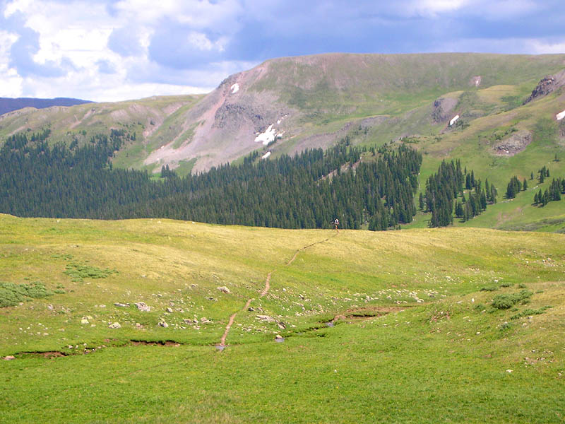
| Immediately after the crossing of Sheep Creek, the view of Sheep Mountain [13,292']. |
 |
| 3/4 of a mile further along, at about 12,000', another view of Sheep Mountain [13,292']. |
 |
| View north from the same location as the photo above. |
 |
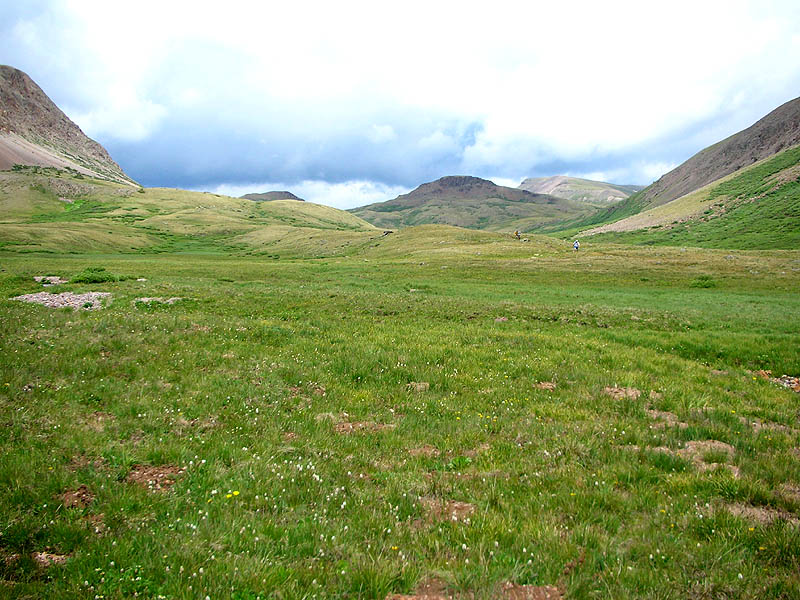
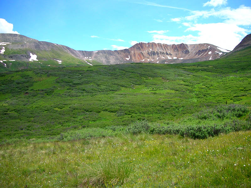
| View south into the upper basin of the West Fork Pole Creek. |
 |
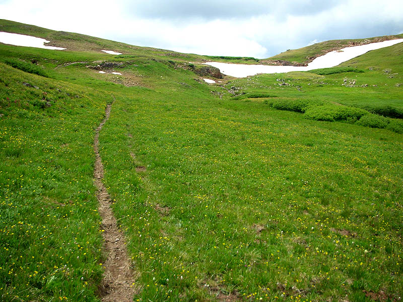
| Almost to the top, finally in view, at dead-center, is Maggie-Pole Pass [12,530']. |
 |
|
From the same location as the photo above,
looking back down the West Fork Pole Creek Valley. Pole Creek Mountain [13,716'] in the background. |
 |
| Still climbing up the West Fork Pole Creek, looking back down at Hans on the horizon. |
 |
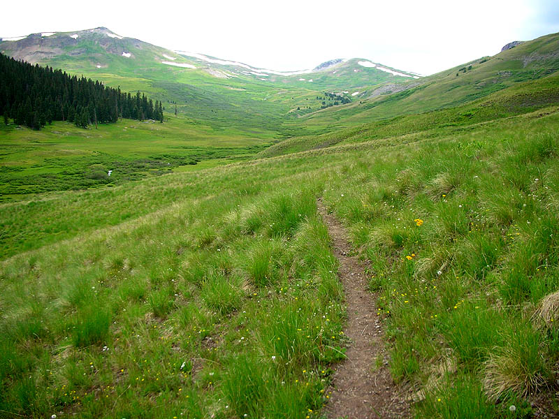
| Our trail on the final pitch up to Maggie-Pole Pass [12,530']. |
 |
| Standing on the Continental Divide and Maggie-Pole Pass [12,530'], view east looking back down the West Fork Pole Creek. |
 |
| Standing on the Continental Divide and Maggie-Pole Pass [12,530'], view west. |
 |
|
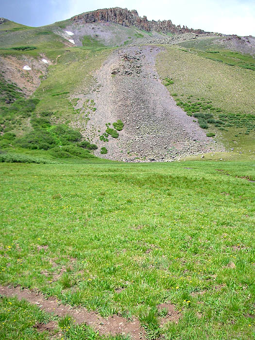
View from the descent down the west side of Maggie-Pole Pass,
looking down at the location of the Maggie Gulch aid station. This view also shows the next big climb from top to bottom: Maggie Gulch to Buffalo Boy Ridge [13,060']. Note the saddle at dead-center with the two triangular snow fields below. Our trail tops out on the ridge at the immediate right of the right snow field. |
 |
|
|
Pt.1 | Pt.2 | Pt.3 | Pt.4 | Pt.5 | Pt.6 | |