Pt.3: Ouray to Engineer
Course Photographs by Klas Eklof, July 2006
Pt.1 | Pt.2 | Pt.3 | Pt.4 | Pt.5 | Pt.6 |
|
|
Pt.3: Ouray to Engineer Course Photographs by Klas Eklof, July 2006 Pt.1 | Pt.2 | Pt.3 | Pt.4 | Pt.5 | Pt.6 | |
|
From Ouray, at mile 43.9, begins the longest continuous climb of the clockwise course,
9.4 miles and 5,040 vertical feet,
for a comfortable average grade of 536.2 feet per mile. |
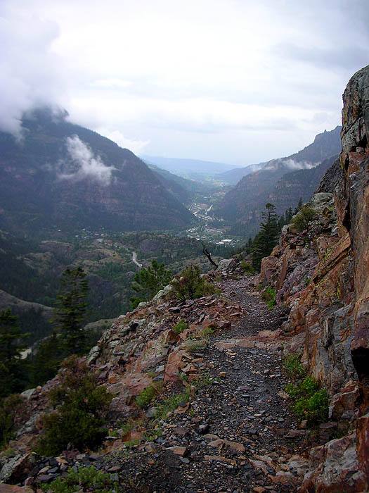
| On the switchbacks above the highway 550 tunnel, looking north down at the town of Ouray. |
 |
|
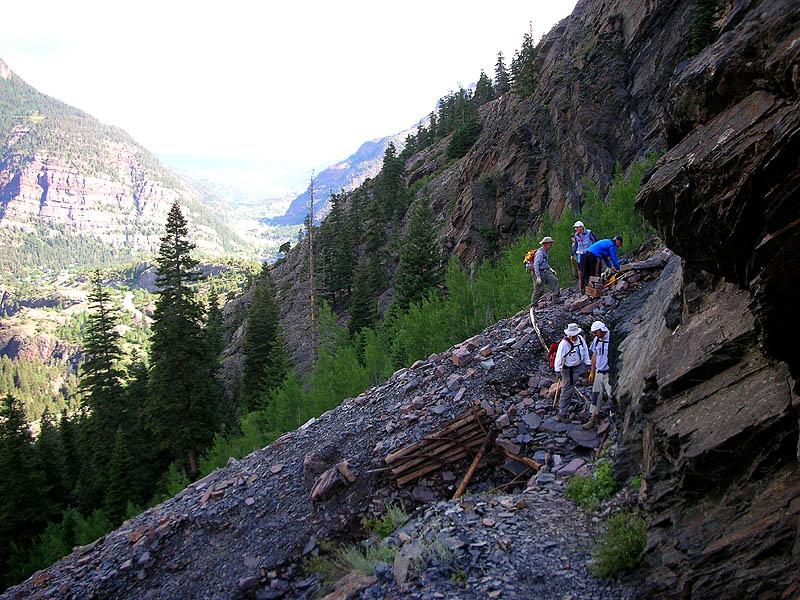
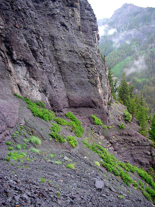
On the switchbacks. A trail work crew of Hardrock runners, contemplating the destruction of the course by a recent slide. |
 |
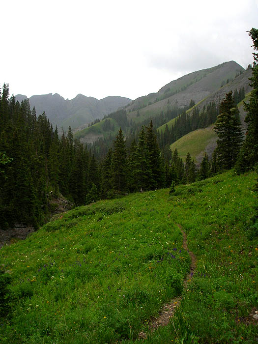
| Nearing the top of the switchbacks, the first glimpse of Ouray Bear Creek. Our trail will ascend the left side of the valley. |
 |
| The upper trail work crew continues, up. |
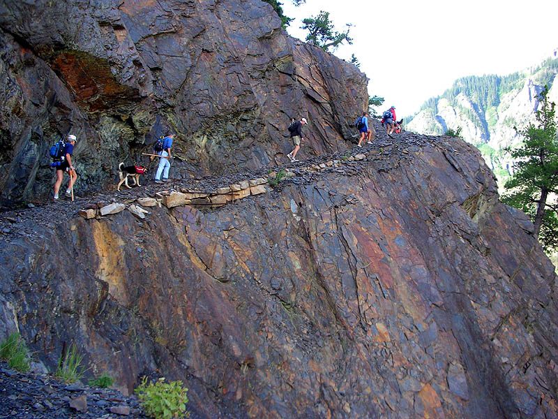 |
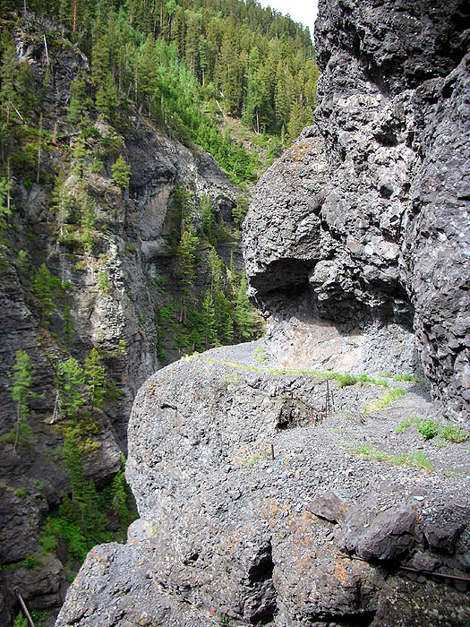
| At the top of the switchbacks, the trail leaves the shale and enters the igneous. Miners blasted this route out of the side of the cliffs. |
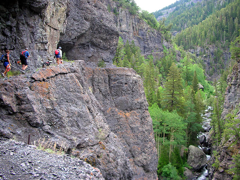 |
| 300 foot drop-off and no guardrails on the curves. |
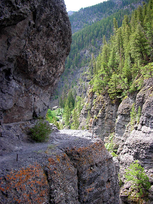 |
| Not a naturally occurring ledge. |
 |
| Most run this section at nightime. |
 |
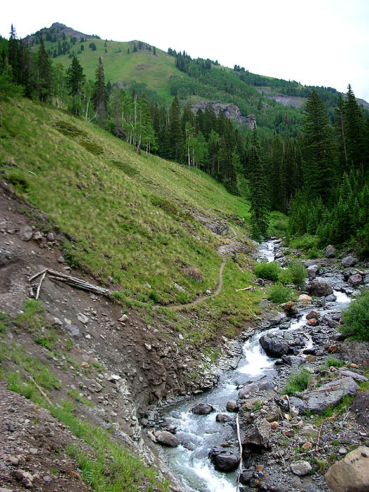
| After Grizzly Bear Mine the cliffs disappear and the trail hugs the creek. |
 |
|
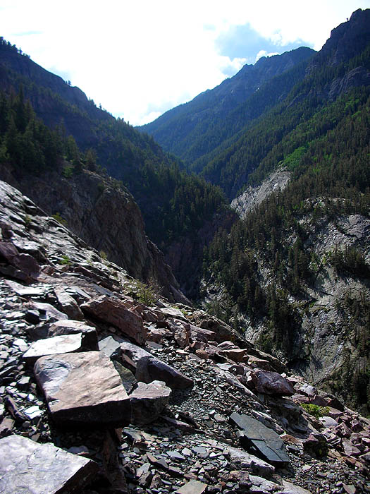
Looking west, back down the Ouray Bear Creek Valley. The flat-topped peak on the left is Potosi [13,786'], the east face. From Oscar's Pass we saw the west face. |
 |
|
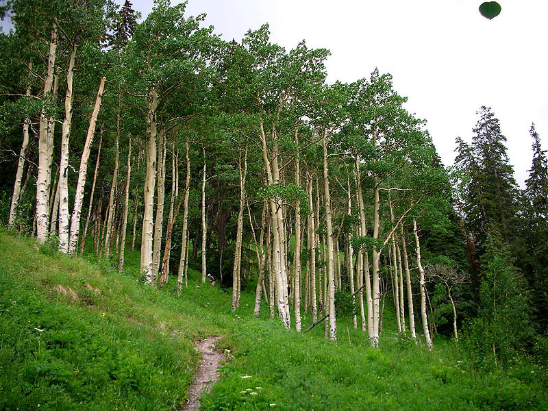
Scott Brockmeier climbs through the random grove of aspens, just below Yellow Jacket Mine. Falling aspen leaf at upper right. |
 |
| Yellow Jacket Mine [11,100']. Trail on the left. |
 |
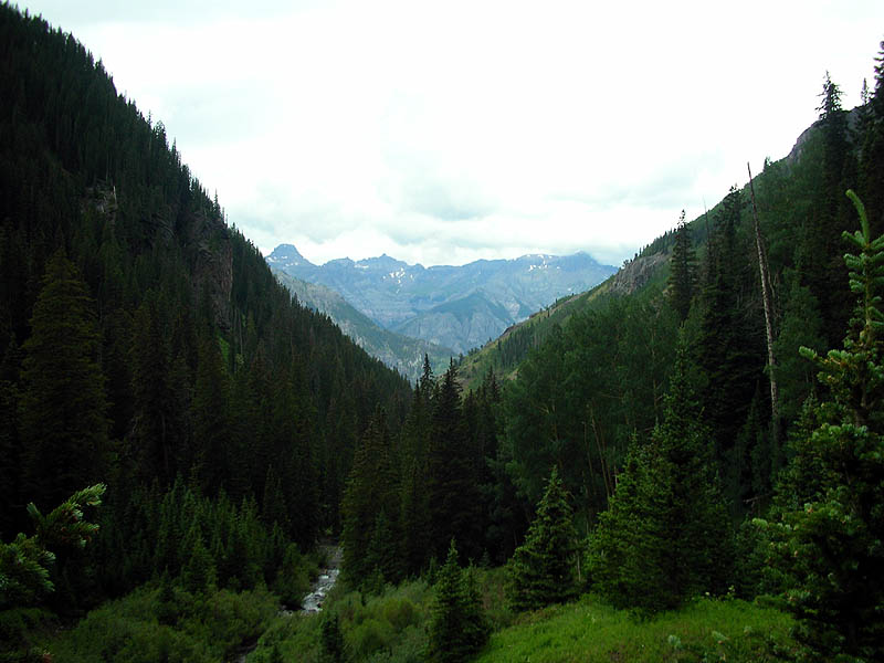
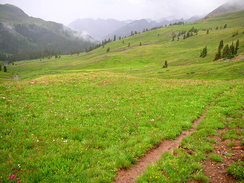
| Treeline on Ouray Bear Creek, looking west back down the valley, from very near the location of the Engineer aid station. |
 |
| Now 1/4-mile above treeline, again looking west back down the valley. Engineer aid station will be located at the little flat spot on the treeline horizon, left-of-center. |
 |
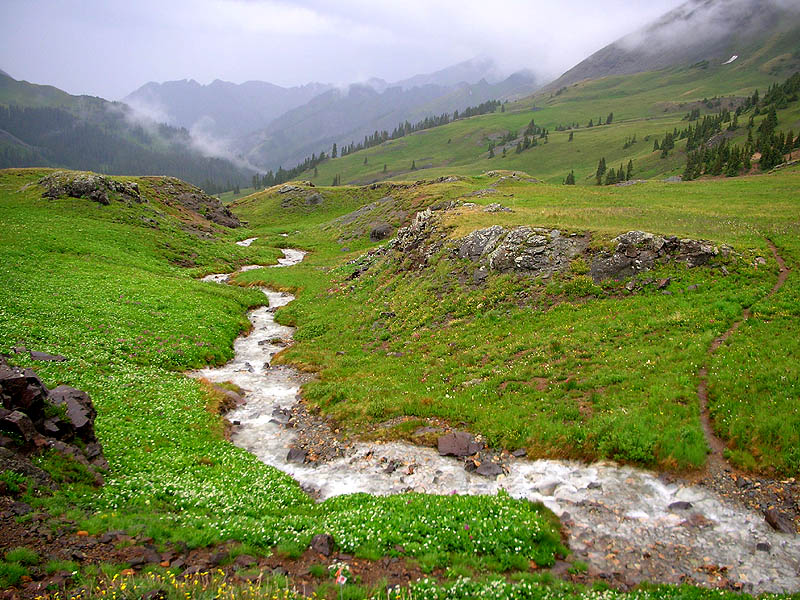
| A 1/2-mile above treeline the trail crosses the Middle Fork Upper Ouray Bear Creek [12,000']. |
 |
|
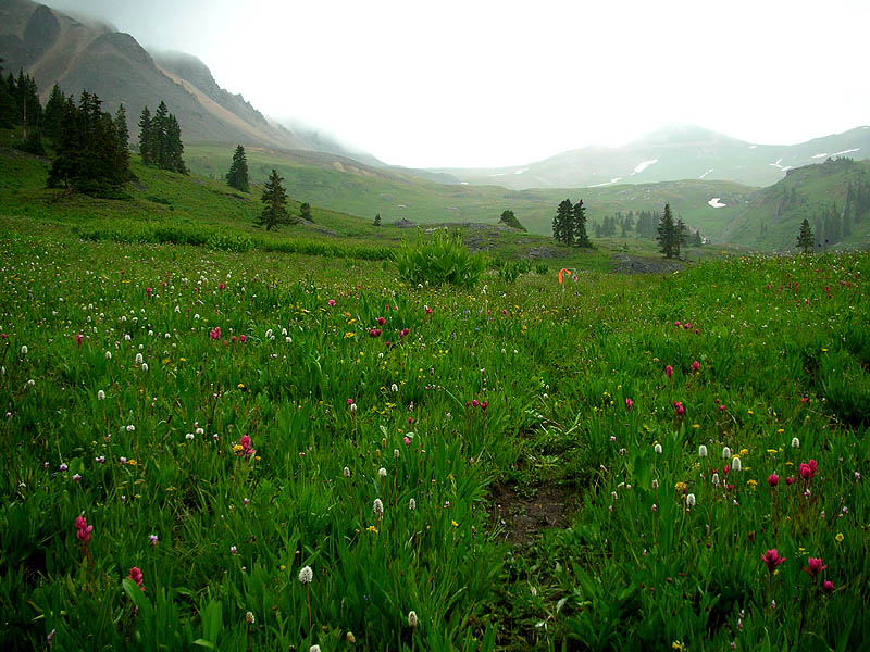
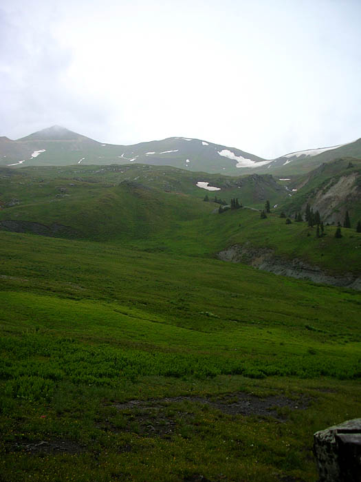
Upper Ouray Bear Creek Basin. The pyramid peak right-of-center, with it's top obscured by clouds, is Engineer Mountain [13,218']. Our trail proceeds up and over the saddle to it's right. This shot also shows some of the amazing wildflowers on the course, including the rarely seen Firmussaxum Viadesignatio. |
 |
| Zoom-in of Engineer Mountain [13,218'] and our trail's target saddle [12,910']. The high-spot on the horizon at dead-center is Oh! Point. |
 |
|
|
Pt.1 | Pt.2 | Pt.3 | Pt.4 | Pt.5 | Pt.6 | |