Pt.2: Telluride to Virginius Pass
Course Photographs by Klas Eklof, July 2006
Pt.1 | Pt.2 | Pt.3 | Pt.4 | Pt.5 | Pt.6 |
|
|
Pt.2: Telluride to Virginius Pass Course Photographs by Klas Eklof, July 2006 Pt.1 | Pt.2 | Pt.3 | Pt.4 | Pt.5 | Pt.6 | |
|
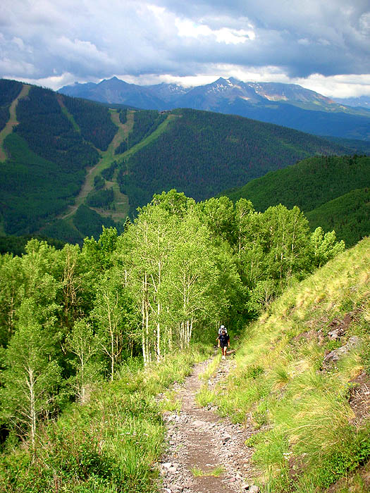
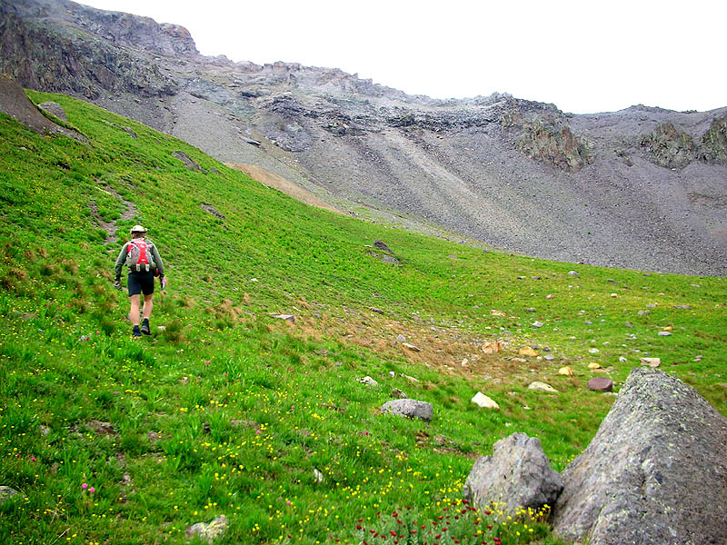
After Telluride (mile 27.8) the climbs become a little more involving.
|
|
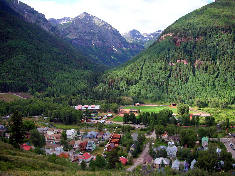
A few hundred feet above Telluride. The Telluride aid station is behind the trees just right of the baseball field. This view looks directly into Telluride Bear Creek. The three-pronged crown-like peak just right-of-center is the San Joaquin Ridge. Our trail descended down the valley directly to it's left. |
 |
|
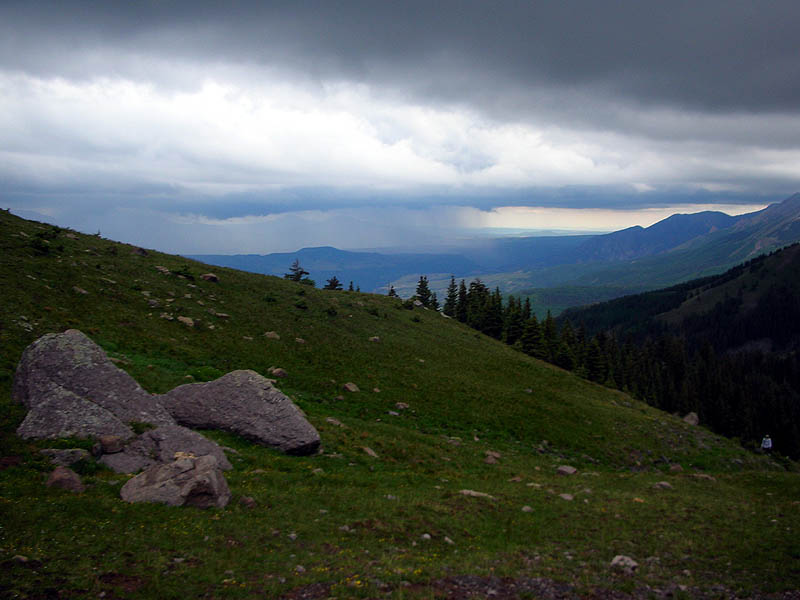
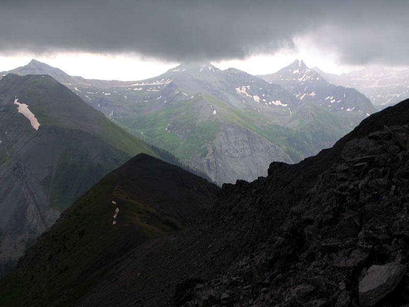
On the switchbacks at about 10,800', looking southwest. San Miguel Mountains are in the background. All three 14'ers in the range, Wilson Peak [14,017'], Mt. Wilson [14,246'], and El Diente [14,159'] hiding in the clouds. |
 |
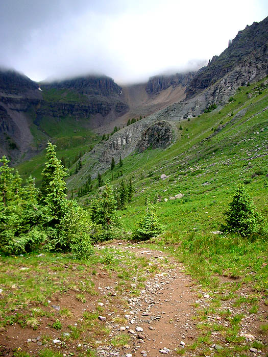
| Treeline in Upper Liberty Bell Basin, looking northwest back down the trail at Greenback Mountain. |
 |
|
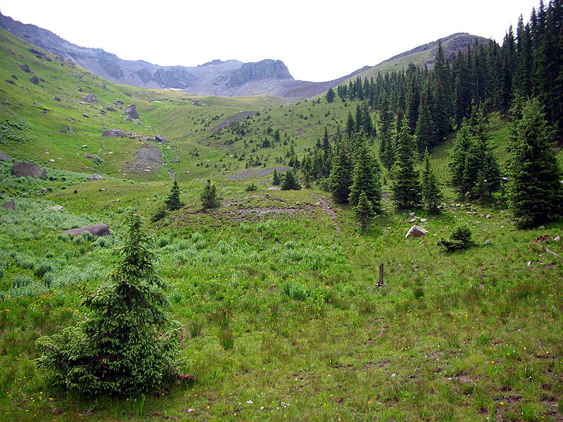
From the same location as the photo above, at treeline in Upper Liberty Bell Basin,
looking southeast. Our trail can be seen snaking through the trees immediately right-of-dead-center. Eventually it reaches the Mendota Saddle [12,560'], which is the lowest point on the horizon to the left of the big cliffs at center. |
 |
|
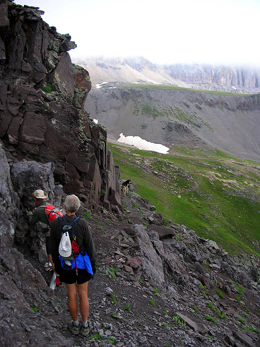
John Cappis on the approach to the Mendota Saddle [12,560']. Our trail can be faintly seen on the far slope, rising from left to right across the top of the scree. |
 |
| Five minutes later, looking southwest. |
 |
| Tucker at the Mendota Saddle [12,560'], view southwest. |
 |
| Tucker at the Mendota Saddle [12,560'], view southeast. |
 |
|
Zoom-in shot of the view above. Peaks from left-to-right: Trico [13,321'], Unnamed Peak [13,477'], Three Needles [13,481']. |
 |
|
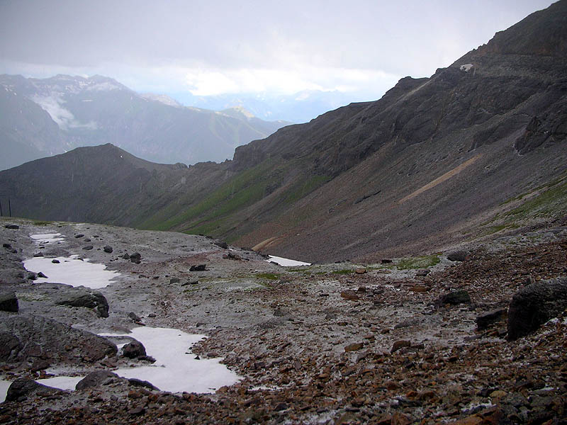
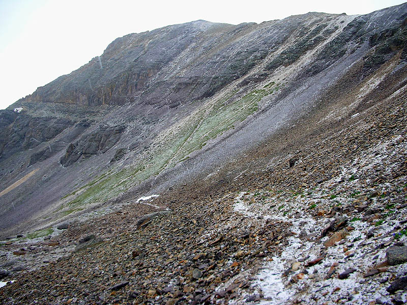
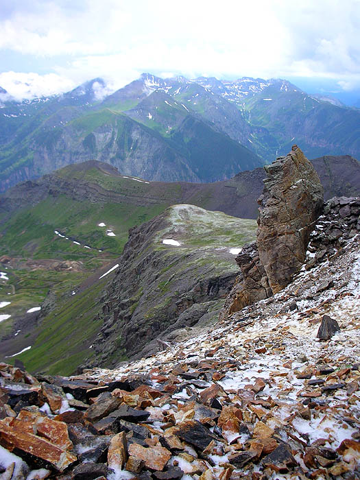
Still at Mendota, looking northeast directly at Virginius Pass [13,100'],
the low point immediately right-of center, where the scree collides with the cliffs. The continuation of our trail across Marshall Basin can be very faintly seen on the far scree slope. |
 |
|
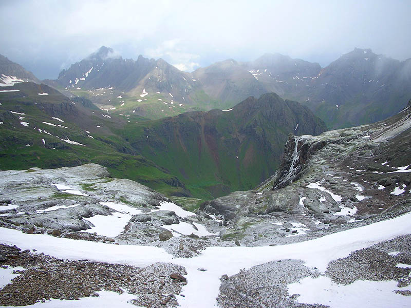
This shot is taken from the big flat spot in Marshall Basin,
looking southwest back at the Medota Saddle. It is snowing. |
 |
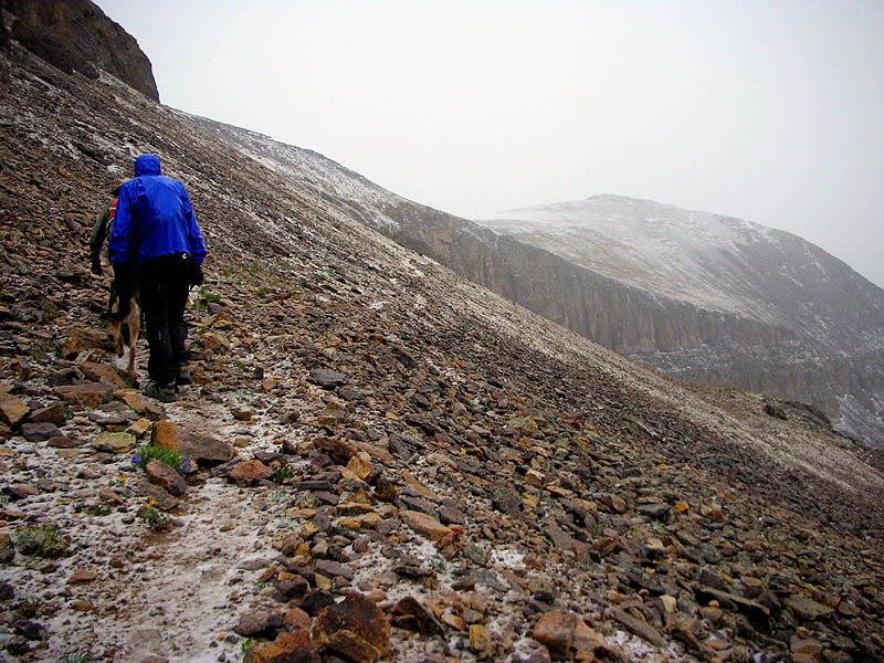
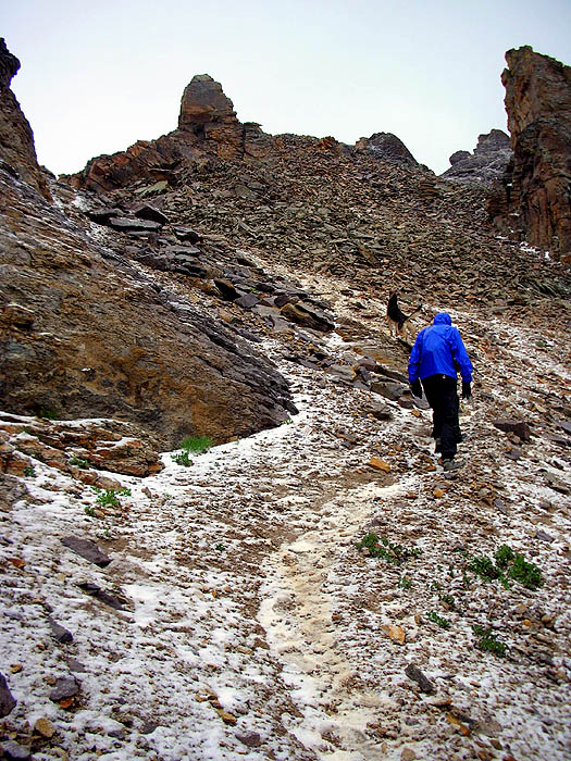
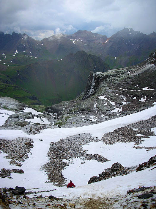
| Climbing toward Virginius Pass on the trail across Marshall Basin. |
 |
| Looking back down the trail, same location as the shot above. |
 |
| Arrival at Virginius Pass [13,100']. |
 |
|
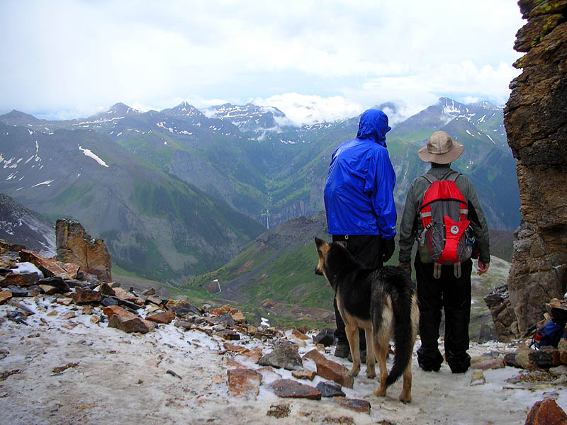
Tucker, Steve Pero, and John Cappis standing on Virginius Pass [13,100'], looking south. Bridal Veil Falls at center. |
 |
|
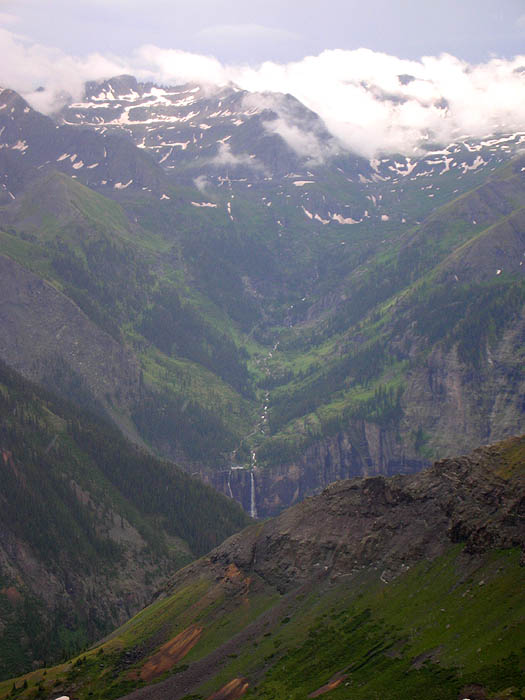
Zoom-in of Bridal Veil Falls from Virginius Pass. Somewhere up there in the clouds on the right is Oscar's Pass, which our trail crested 11.4 miles ago. |
 |
| This view from Virginius Pass is southwest, looking over Telluride and into Telluride Bear Creek Valley where our trail descended from Oscar's Pass. |
 |
|
Spin around 180-degrees, and this is the view north from Virginius Pass. The green ridge at dead-center is Stony Mountain [12,698'], and our trail descends straight ahead, down the valley to it's base. The low saddle on the horizon, at the extreme left, is Blue Lake Pass [13,000']. The peak to the right of the pass is Mount Sneffels [14,150']. Peak on the right side of the picture with the spikey nub on its left side is Teakettle Mountain [13,819']. |
 |
| Running down the north face of Virginius Pass. |
 |
|
|
Pt.1 | Pt.2 | Pt.3 | Pt.4 | Pt.5 | Pt.6 | |