Pt.4: Grouse Gulch to Handies Peak
Course Photographs by Klas Eklof, July 2006
Pt.1 | Pt.2 | Pt.3 | Pt.4 | Pt.5 | Pt.6 |
|
|
Pt.4: Grouse Gulch to Handies Peak Course Photographs by Klas Eklof, July 2006 Pt.1 | Pt.2 | Pt.3 | Pt.4 | Pt.5 | Pt.6 | |
|
Directly following the longest climb of the course, mile 58.4 marks the beginning of the highest climb, to the top of Handies Peak [14,048'].
|
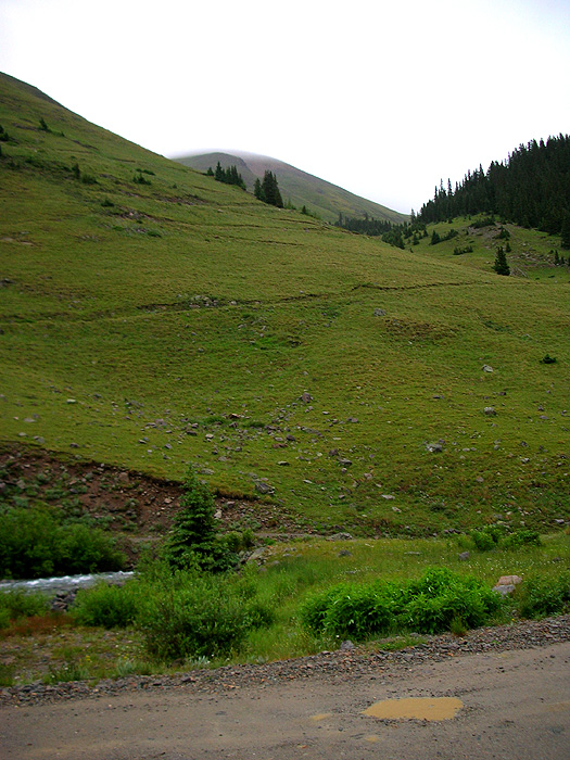
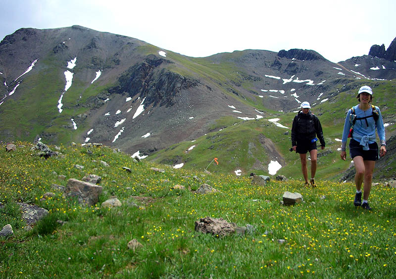
| View from the Grouse Gulch aid station, looking up into Grouse Gulch and the switchbacks that start the climb. |
 |
| A few switchbacks up, looking northwest at Animas Forks and the Piedra de Los Animas. |
 |
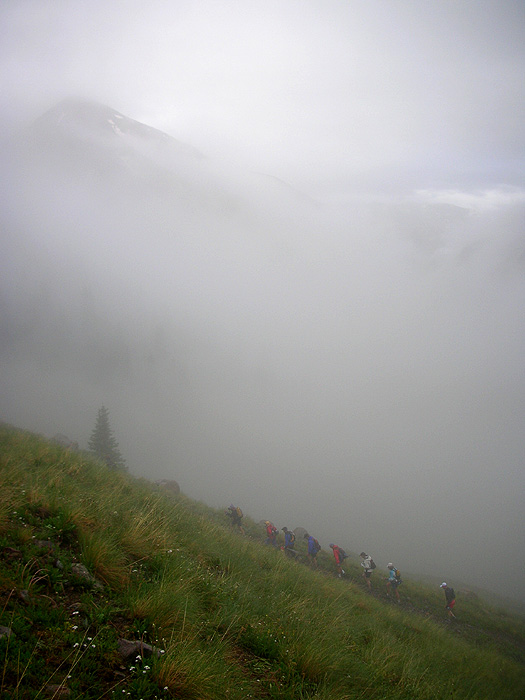
| Trail marking party on the switchbacks. |
 |
| The trail marking party has switchbacked. |
 |
| At the top of the switchbacks, looking up at the entrance to Grouse Gulch. |
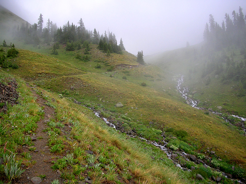 |
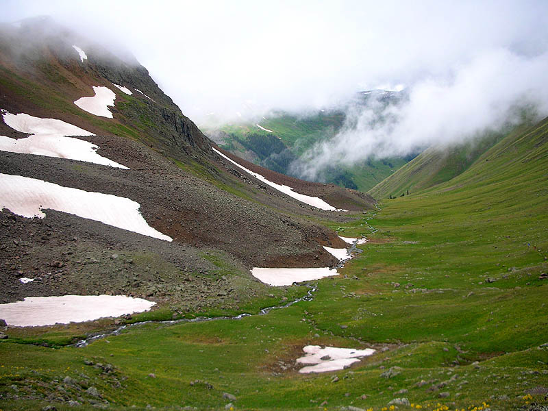
| View from the crossing of the creek that drains the south face of Cinnamon Mountain, looking down. |
 |
| Looking back down, from about 11,800'. |
 |
|
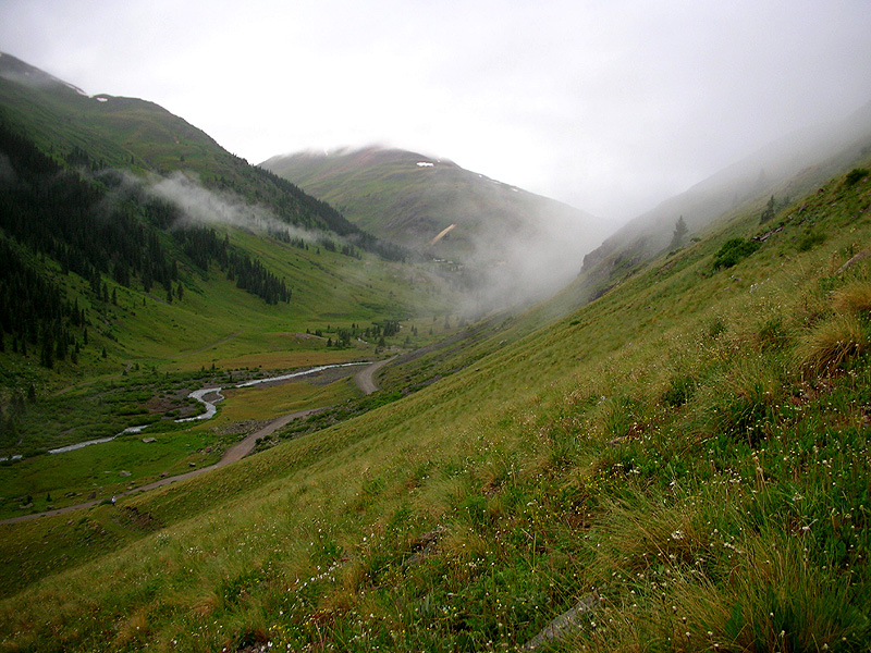
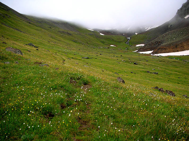
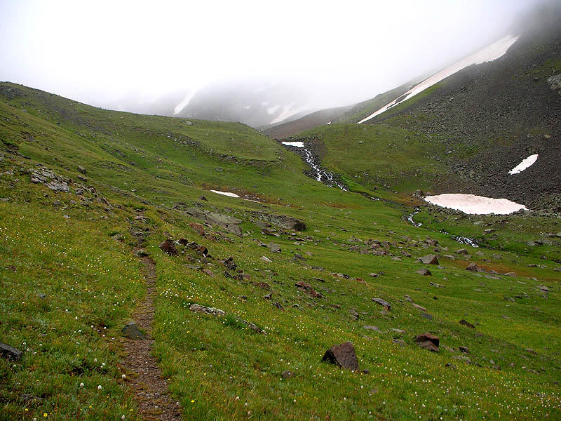
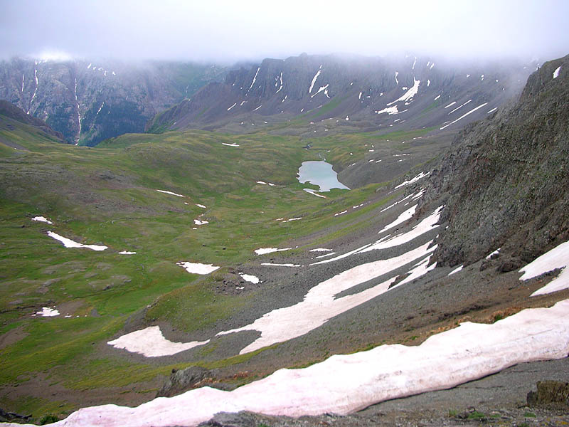
After the steep first mile, the hanging valley of Grouse Gulch appears. The creek can be seen flowing out of a small snowpatch, which also marks the outlet of the unnamed lake at the head of the gulch. We continue through the grass up to that lake. Also note the left-most snowpatch in this picture. Directly above it is a small notch on the horizon, that's American-Grouse Pass [13,020']. Our trail switchbacks above the lake, and crosses through that snowpatch on the way to the pass. |
 |
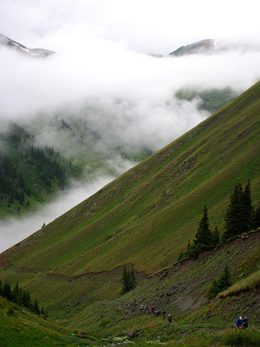
| Approaching the outlet of the unnamed lake at the head of the gulch, in the clouds. |
 |
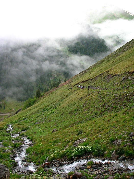
| From the outlet of the lake, looking back down, a couple of runners can be seen on the trail at the extreme right. |
 |
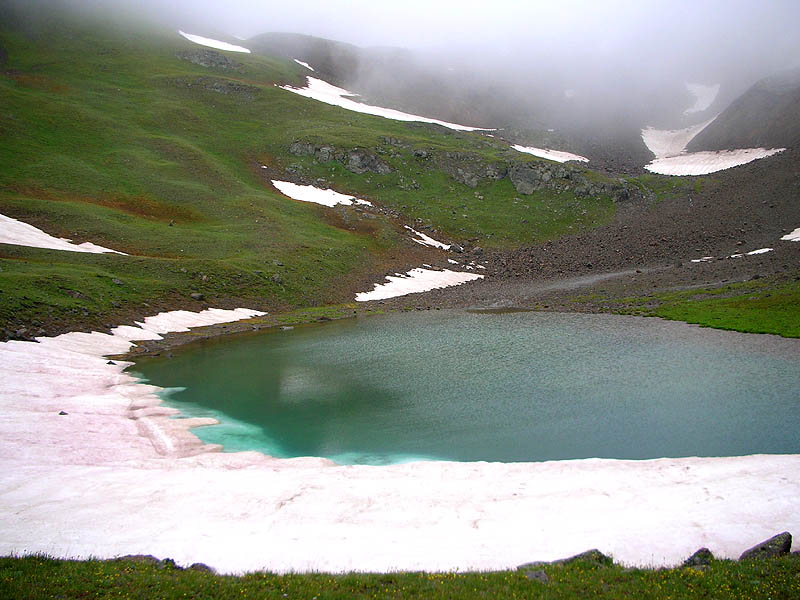
| At the lake. Looking up at the same snowpatch noted 3 pictures above, with American-Grouse Pass [13,020'] directly above it. |
 |
| This is a better view of the climb between the lake and the pass. Runners can be seen on the trail, at center, as it points directly at the familiar snowpatch. |
 |
|
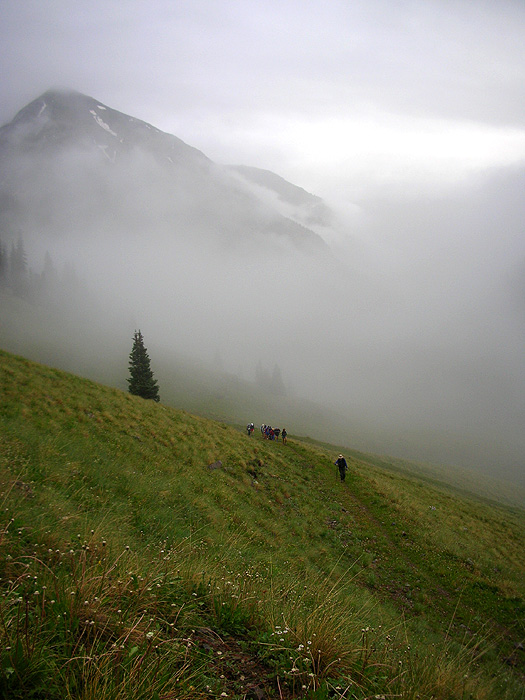
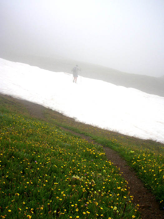
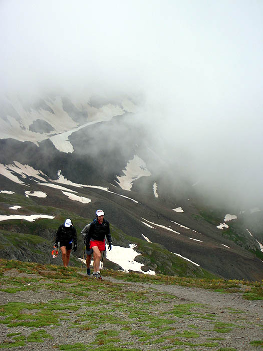
When I got to the snowpatch the fog was there too. Chuck Wilson leads the way. |
 |
|
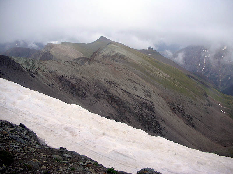
At the top of American-Grouse Pass [13,020'], looking east at Handies [14,048']. Smiling Andrea Feucht, followed by Stephen Cross, on their way back from the peak. |
 |
|
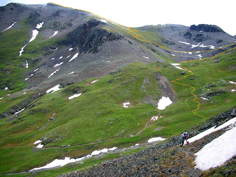
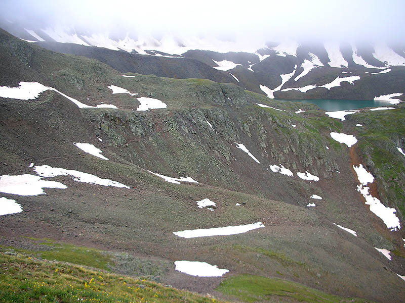
View from the descent from American-Grouse Pass into American Basin. I have highlighted our trail's route from American Basin to the top of Handies. Sloan Lake is where the routeline gets cut-off on the right. |
 |
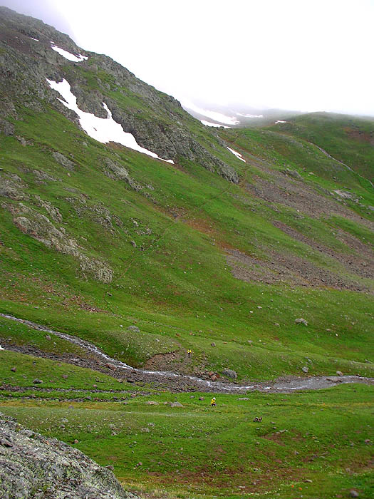
| Looking back at the descent from American-Grouse Pass into American Basin, with runners seen crossing the Lake Fork Gunnison River. |
 |
| If you look close, this view shows the little section of trail that climbs from American Basin to Sloan Lake. The trail can be seen at the far-right after it has crossed the creek that drains from Sloan Lake, and then it switchbacks up the rocky finger buttress at center. |
 |
|
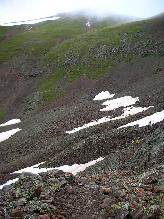
View from Sloan Lake looking at our trail as it traverses across the scree slope. If you look again at the picture above with the route drawn on it, you will see this scree slope where the trail crosses the 4 little snowfields. The low notch on the horizon at the extreme-upper-right is the South Saddle of Handies Peak, our trail's next stop on the way to the top. |
 |
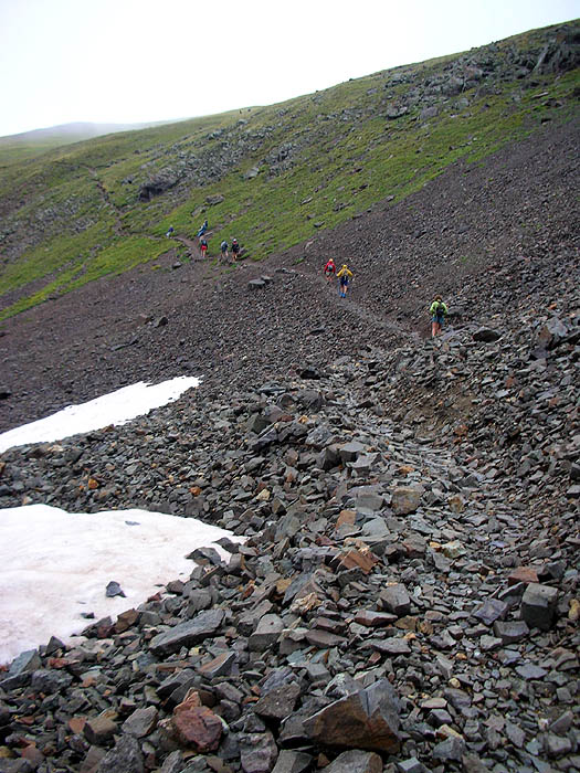
| On the traverses across the scree slope. |
 |
| Looking back at the trail from Sloan Lake to the scree slope traverse. |
 |
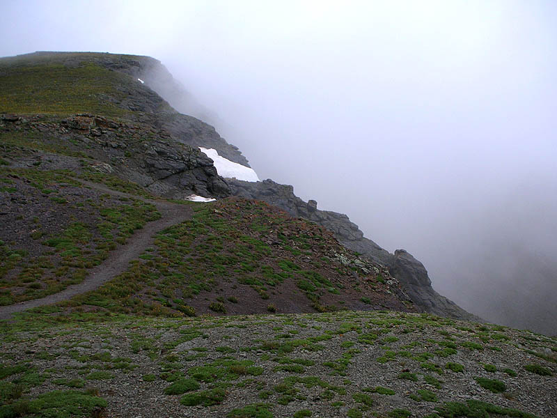
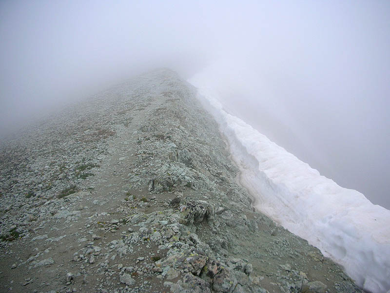
| Standing on the South Saddle of Handies, looking up our trail and the ridge to the peak. |
 |
| Still standing on the South Saddle of Handies, looking east onto the headwaters of Boulder Gulch. |
 |
| Course marking party on the final pitch to the summit. |
 |
| On the final pitch to the summit, view of Handies pretty East Ridge. Nearest is point 13,735'. |
 |
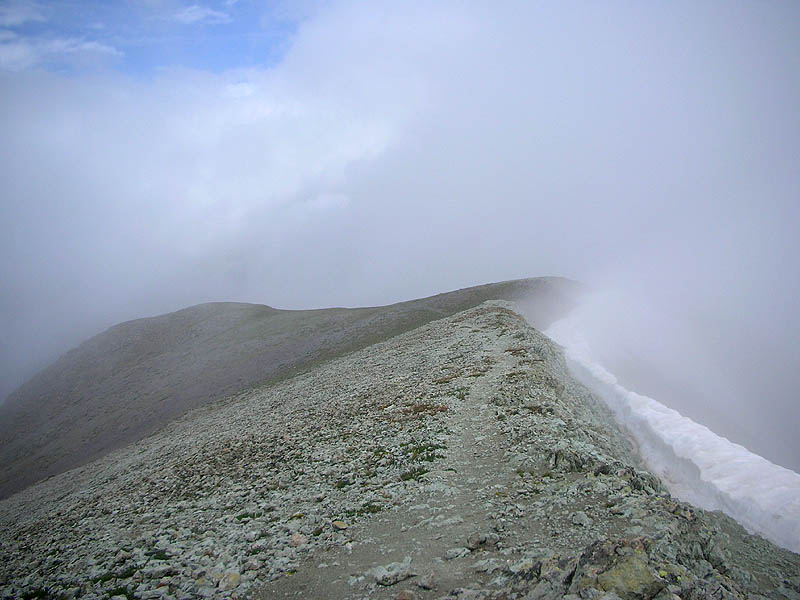
| View from the top of Handies Peak [14,048']. Are you sure you'll know which way to go down in the dark? |
 |
|
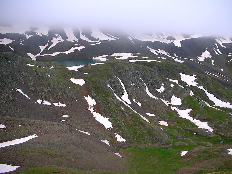
For the 1/2 hour I spent at the summit, this was the most that the clouds ever lifted.
The continuation of our trail can be faintly seen heading down the ridge.
During the race, I reached the top of Handies just seconds before the sun peaked over the horizon. Mark Swanson, my amazing pacer, took a few great photos at that moment, here. |
 |
|
|
Pt.1 | Pt.2 | Pt.3 | Pt.4 | Pt.5 | Pt.6 | |