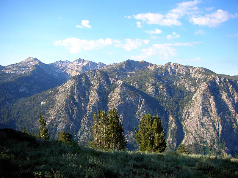
On the traverse of the rim of Cascade Valley, between Deer Creek and Duck Lake.
Devils Top is the near peak left of center. Double Peak is right of center.
|
|
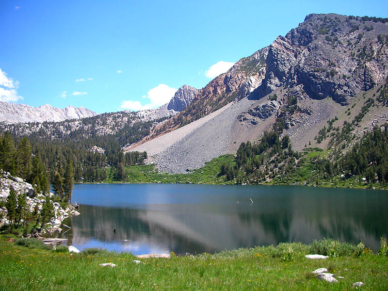
Purple Lake.
(It's not).
|
|
|
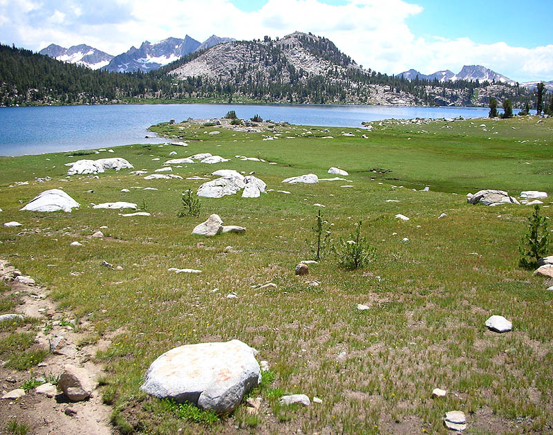
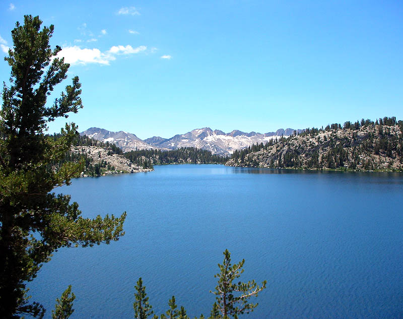
Lake Virginia. The trail goes around the lake and through the saddle on the left.
|
|
|
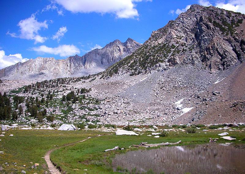
Looking north from Lake Virginia.
|
|
|
Looking south at Lake Virginia.
|
|
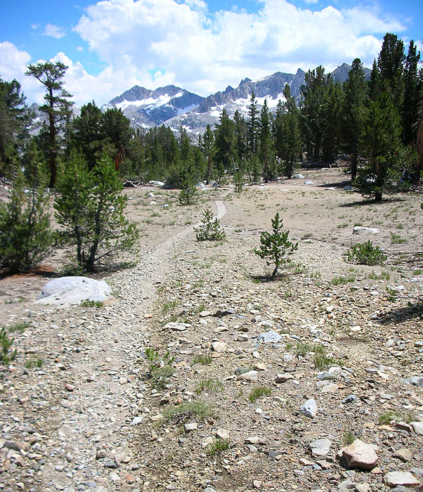
The top of the aforementioned saddle, east of Lake Virginia.
The next shot is taken about 200 yards ahead.
|
|
|
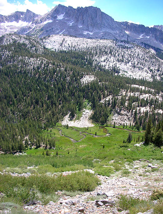
View down into Tully Hole. Look at the trees at the bottom of the shot to get a sense of the steepness.
|
|
|
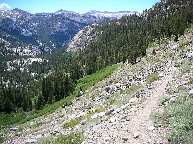
On the decent down into Tully Hole. The trail traverses the steep hillside down to the river,
then follows the bottom of the canyon as it bends around to the right in the middleground. Silver Pass is even visible on the far horizon.
|
|
|
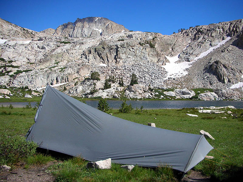
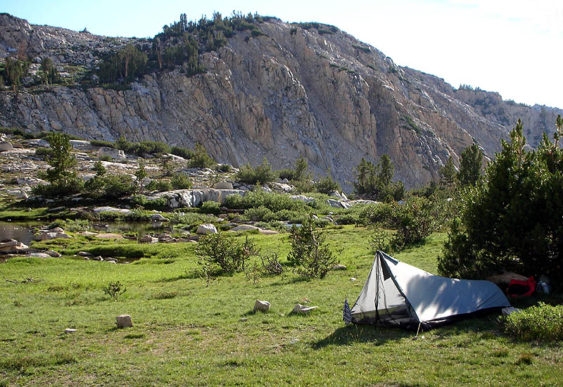
Camp at Squaw Lake, just below Silver Pass.
|
|
|
The wind was blowing strongly when I arrived at Squaw Lake, and I found the lone tree there that offered any protection.
Other semi-protected spots were hidden in the rocks south of the outlet, but generally its all exposed up there.
Around 6:00 the wind quit and it turned into a spectactular evening.
|
|
|
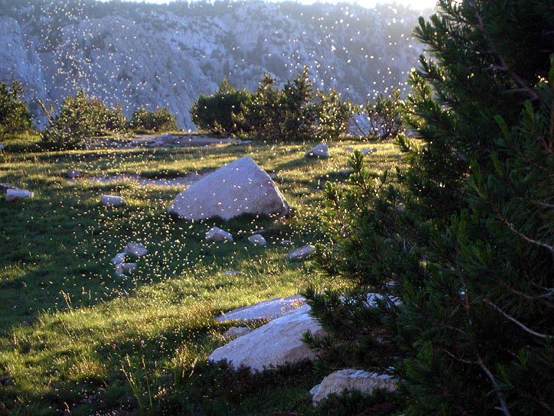
Even the mosquitos were spectacular.
|
|
|
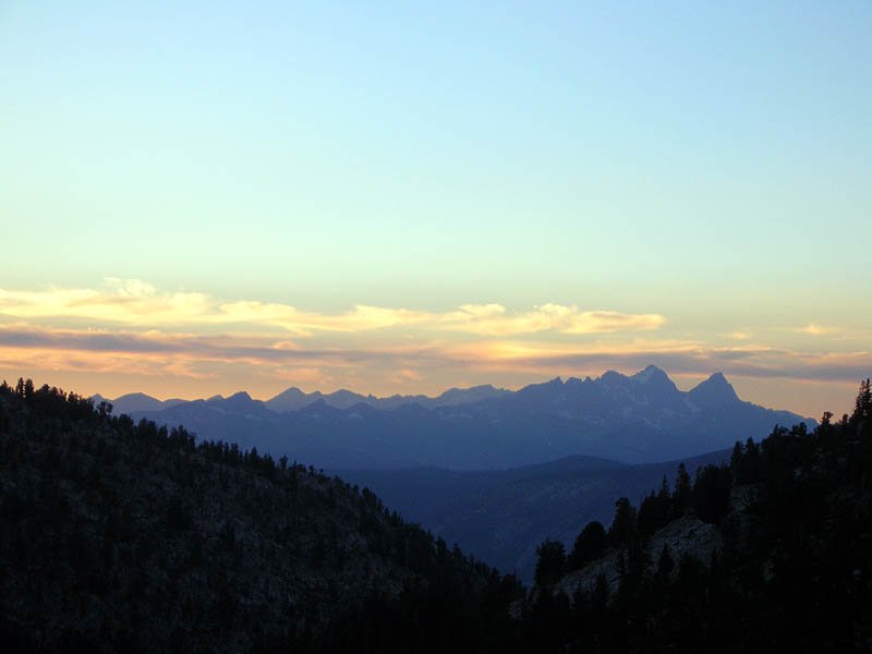
Sunset from Squaw Lake, obviously looking north. That's Banner Peak again on the far right, and Mt. Ritter is just to its left.
|
|
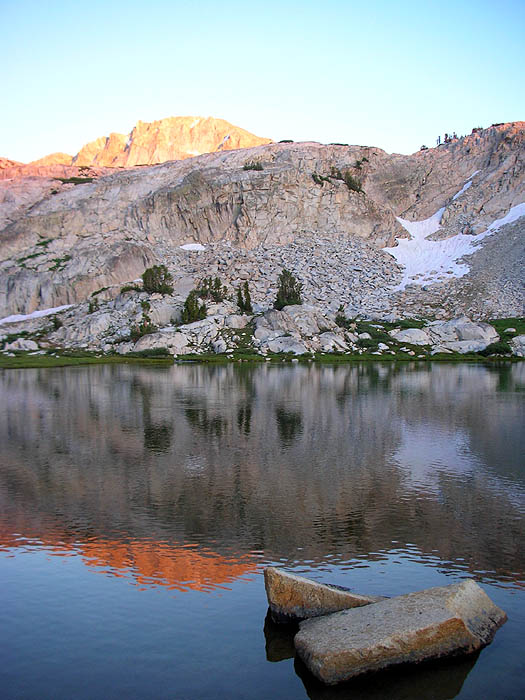
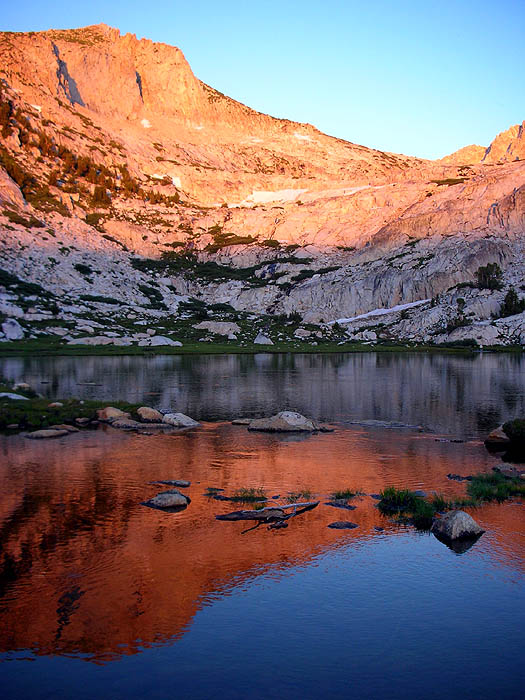
Squaw Lake sunset.
As soon as the direct sunlight was off the surface of the lake, the fish started jumping madly.
It was like the trout thought they could fly, launching double-flip half-twists a foot in the air.
Some rings are visible on the water.
|
|
|
Ditto.
|
|