Early morning start, as planned.
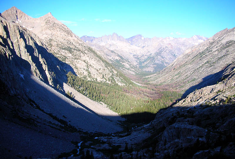
View from near the top of the golden staircase, looking back down Palisade Creek canyon
and into the valley of the Middle Fork Kings River.
My camp last night was down there by the creek just inside the tree line.
I invite you to imagine how thunder reverberates in this canyon.
|
|
|
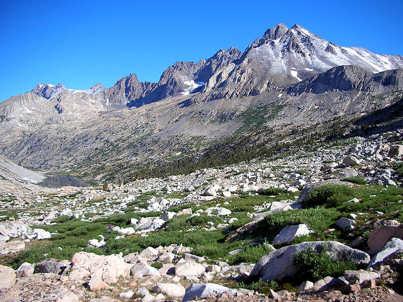
On the climb to Mather Pass, looking back down at Palisade Lakes,
with fresh snow from yesterday's storm sprinkled on Disappointment Peak.
|
|
|
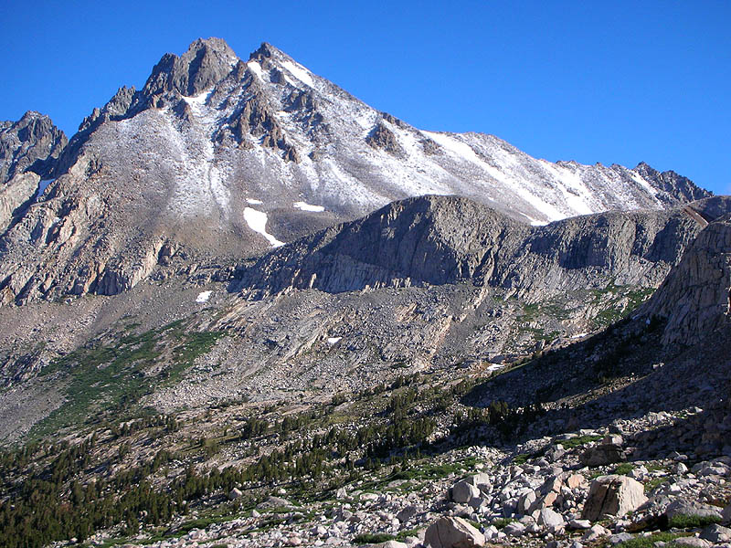
Close-up of Disappointment Peak with fresh snow in August.
|
|
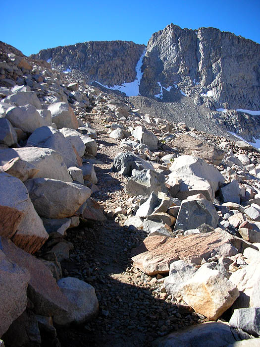
View of the trail as it climbs steeply up to Mather Pass.
The sections of the trail still in the shade were coated with ice.
|
|
|
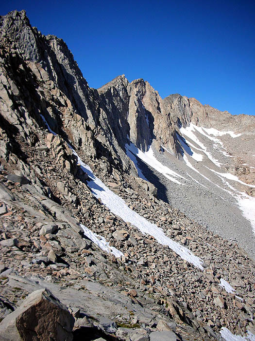
View due west from the top of Mather Pass, looking at the divide which the pass passes.
|
|
|
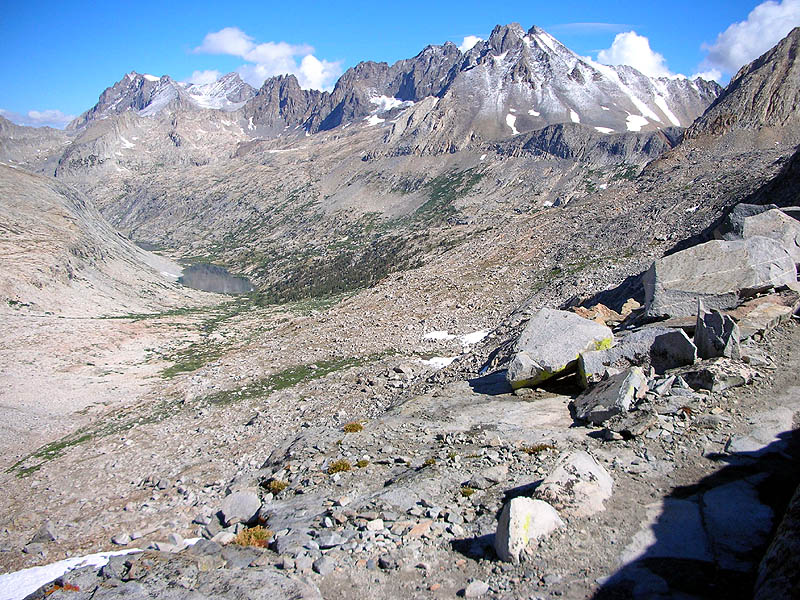
View due north from the top of Mather Pass, the Palisade Crest.
|
|
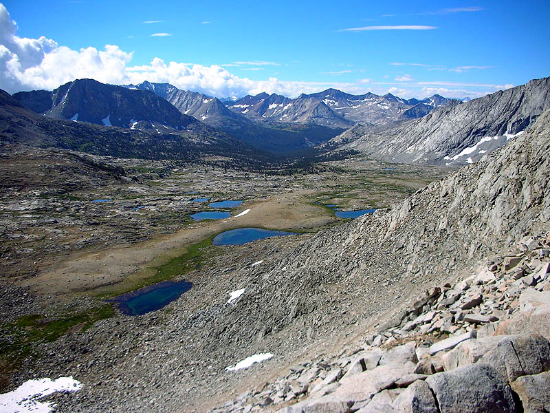
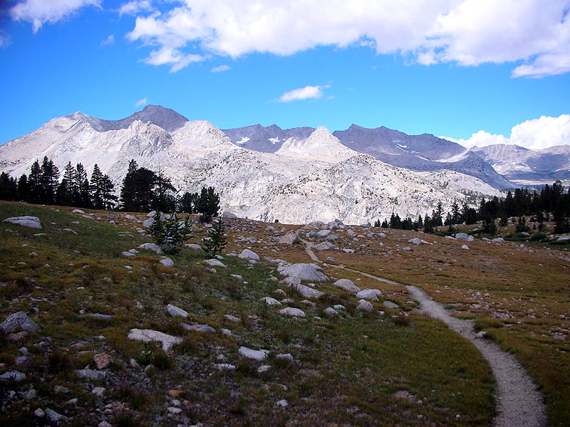
View south from the top of Mather Pass, into Upper Basin. The trail proceeds straight ahead through the basin,
then drops down into the canyon of the South Fork Kings River, just beyond the tree line.
The trail then climbs straight up the other side of the canyon and into the opposite basin.
The last photo on this page was taken from that opposite basin looking back here at Mather Pass.
Remnants of the storm can be seen on the left, clinging to the east face of the Sierra Divide.
For some wonderful and unknown reason the clouds remained over there all day, while this basin warmed in the sun.
|
|
|
View east from Mather Pass, at Split Mountain,
a beautifully spiraling ridge said to be an influence for Libeskind's WTC rebuild design.
|
|
|
Mount Ruskin from the south.
|
|
|
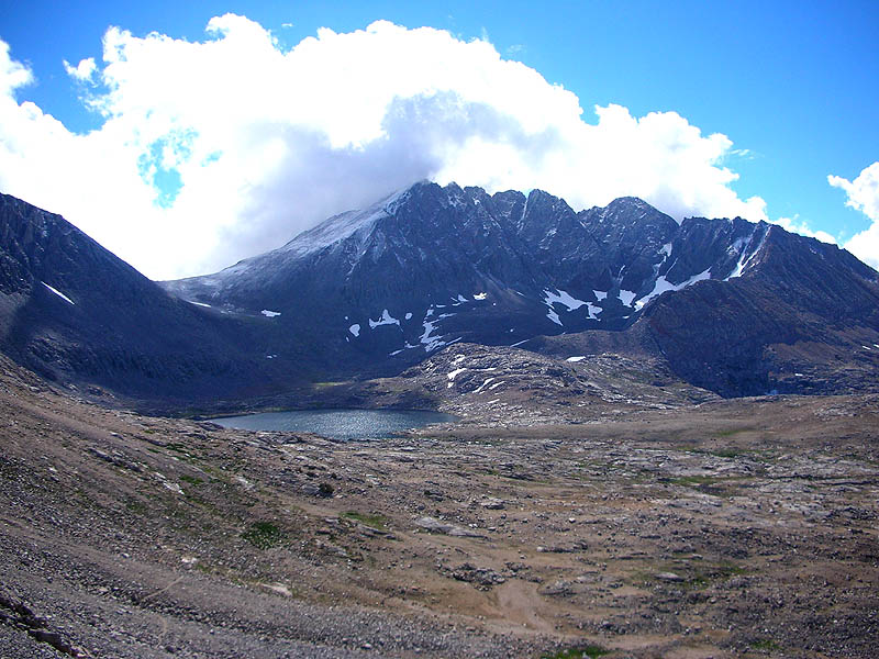
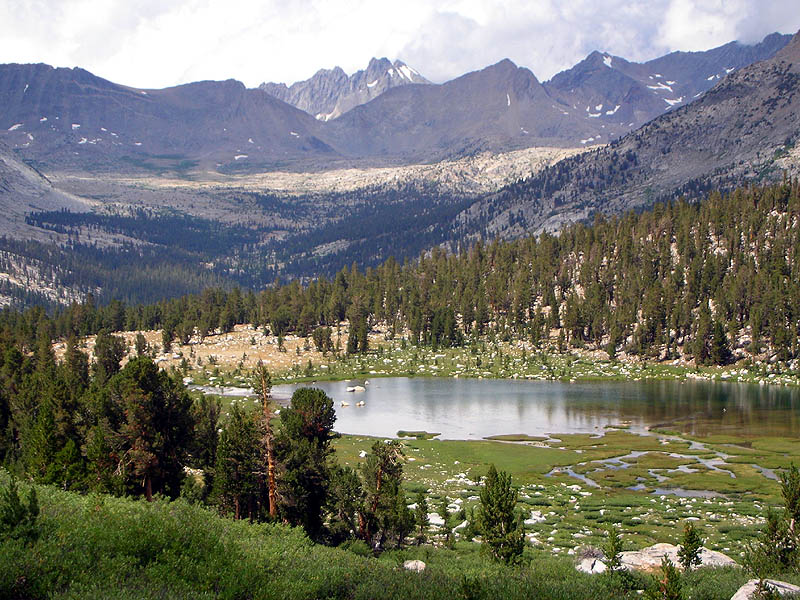
Unnamed Lake near Lake Marjorie, looking north back to Mather Pass which is the low notch just left of center cupping the Palisads behind.
|
|