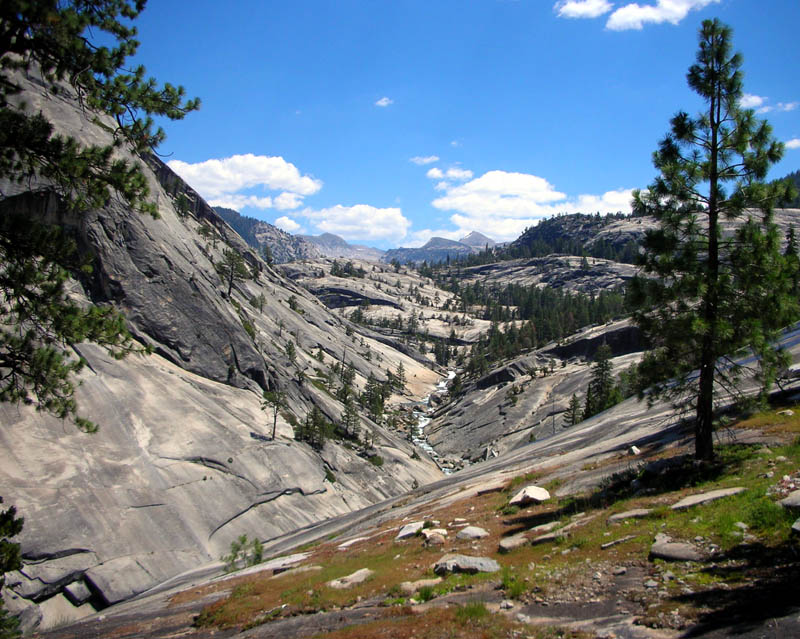
Pretty sure Mt. Florence is the background peak.
|
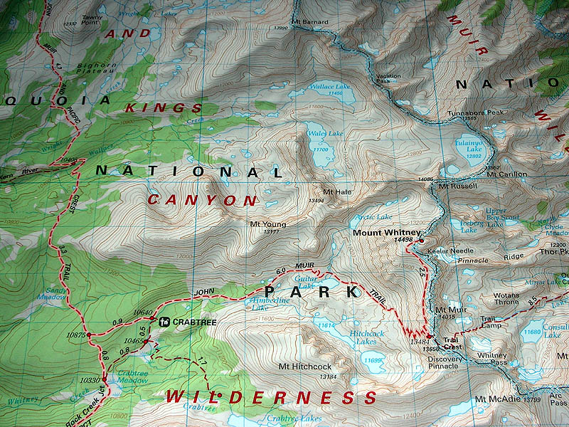
John Muir Trail, August 2005
Day 1: Yosemite Valley to Merced Lake. 14 Miles. Those familiar with the trail will immediately understand that I took an alternate route. Only following the JMT proper for the first 5 miles, I left the trail and continued up the Merced River Canyon to Merced Lake. Then on the second day I passed Vogelsang and dropped into Lyell Canyon to meet back up with the JMT at Ireland Creek. This route is also known as Starr's AR-3, and is a couple of miles shorter. I went this way to avoid Tuolumne Meadows, and also because I love the Merced River Canyon between Little Yosemite Valley and Merced Lake. |
| Studying the maps before I left, and testing the macro feature on my new Nikon S1 digital camera that would soon take all these pictures. |
|
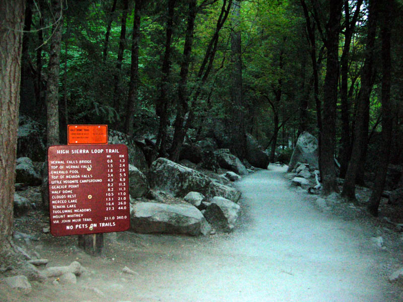
| Trailhead at 6:30 am. 211 miles (340 km) to Mount Whitney. |
|
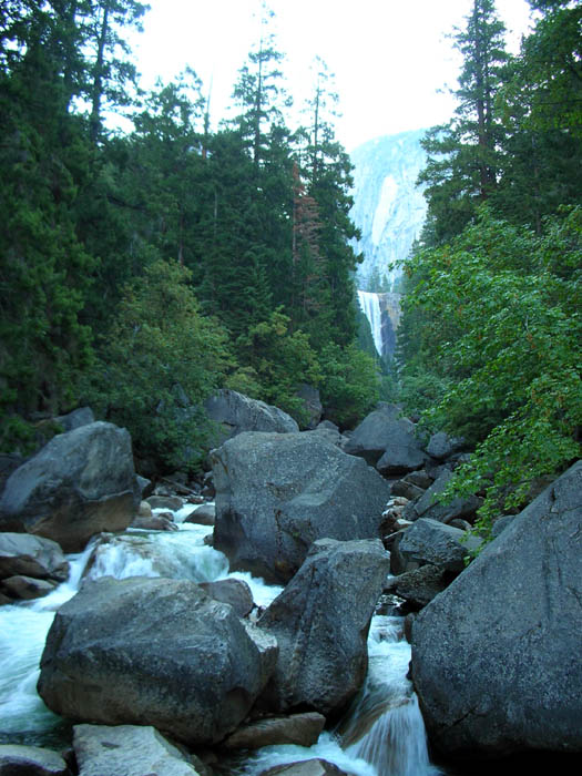
| Vernal Fall from the bridge, with van-sized boulders. |
|
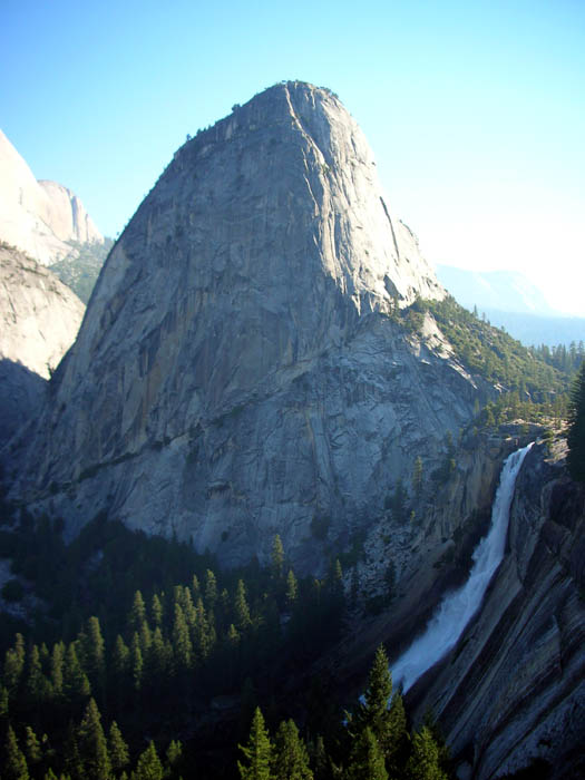
| Liberty Cap and Nevada Fall |
|
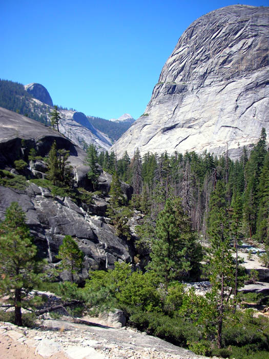
| Shot from Bunnel Cascade, looking west back down the Merced. East Moraine Dome on the right, Cascade Cliffs on the left. |
|
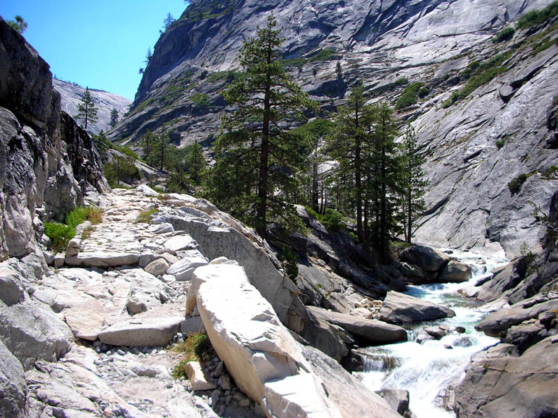
| In the Bunnel Cascade, looking upriver. |
|
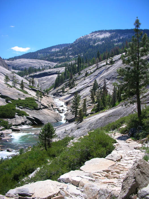
| Just after the river crossing NE of Bunnell Point. |
|
|
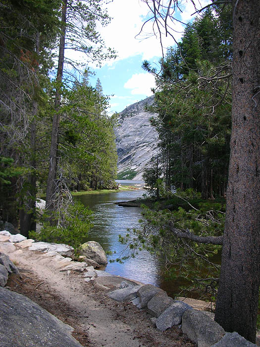
The Merced River canyon approaching Echo Valley. Pretty sure Mt. Florence is the background peak. |
|
| Arriving at Merced Lake. |
|
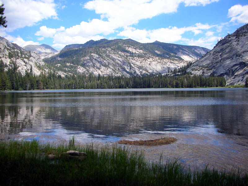
| Merced Lake, looking east. Lewis/Fletcher Creeks canyon on the left, Merced River and Washburn Lake up the canyon on the right. |
|
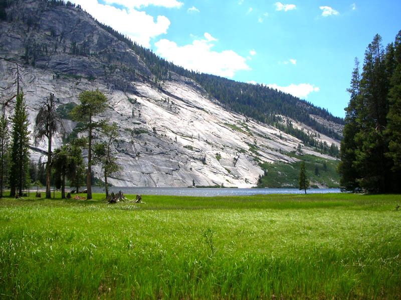
| Merced Lake, looking west. |
|
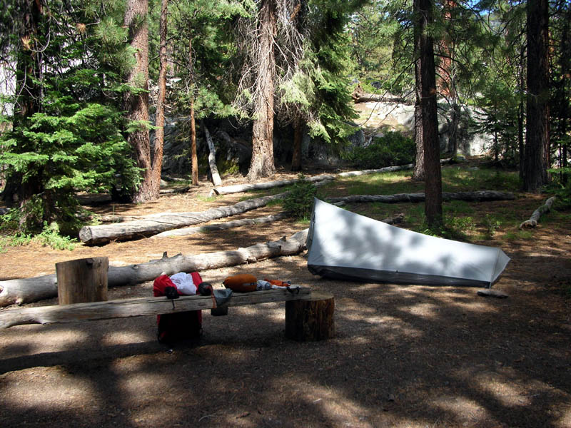
| Campsite at Merced Lake. |
|